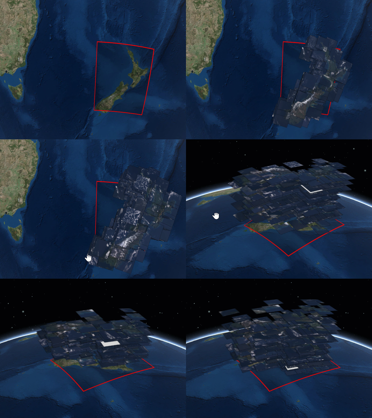
Downloading and viewing satellite imagery is a bit of a process. There are lot of images, and pictures aren’t taken in the exact same spot (because they’re taken from a satellite). The Landsat Viewer makes the viewing a bit easier. Just click and drag the area, select the source, and you’re off. There may or may not be wizardry involved.
Landsat satellite imagery browser


