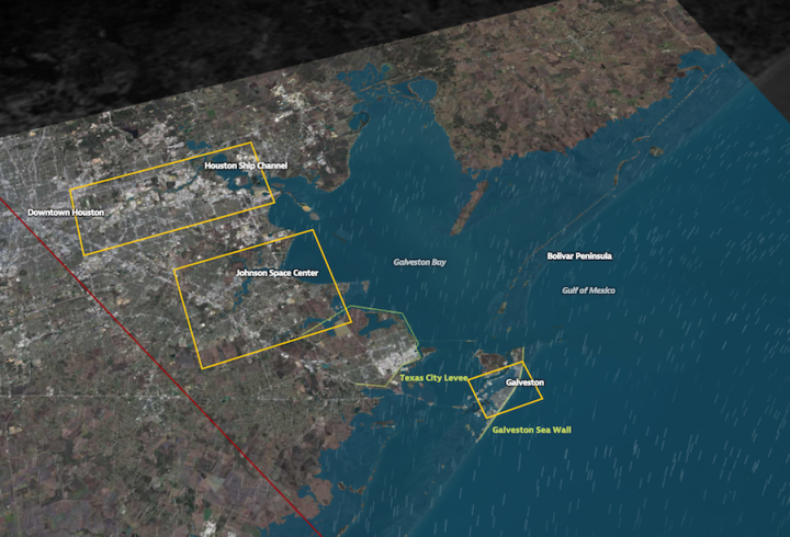
In 2008, Hurricane Ike blew just past the Houston Ship Channel, “home to the nation’s largest petrochemical complex.” Had Ike touched down on the area, the damage could’ve been far worse than it was. In a collaboration between ProPublica and the Texas Tribune, Hell and High Water shows simulated models of what the flooding might look like next time, if a hurricane is a bit stronger, if it takes a slightly different path, and perhaps most importantly, if the area constructs more protections.
Spend a bit of time with this one. It almost seems like a straightforward map at first, because it loads so quickly and runs smoothly, but there’s a lot of data displayed at once. Winds, rising waters, hurricane paths, and several simulations. The map is browsable and searchable.
More on process here. [Thanks, Scott]


