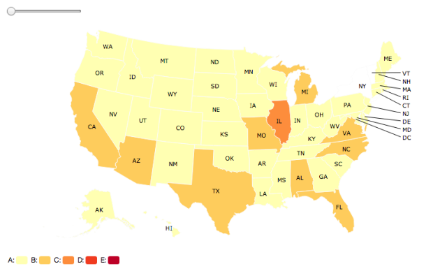
You can make static maps in R relatively well, if you know what packages to use and what to look for, but there isn’t much direct interaction with your graphics. rMaps is a package that helps you create maps that you can mouse over and zoom in to.
Don’t get too excited though. A scan of the docs shows that it’s basically a wrapper around JavaScript libraries Leaflet, DataMaps and Crosslet, so you could learn those directly instead, and you’d be better for it in the long run if you plan to make more maps. But if you’re just working on a one-off or must stay in R because your life depends on, rMaps might be an option.


 Visualize This: The FlowingData Guide to Design, Visualization, and Statistics (2nd Edition)
