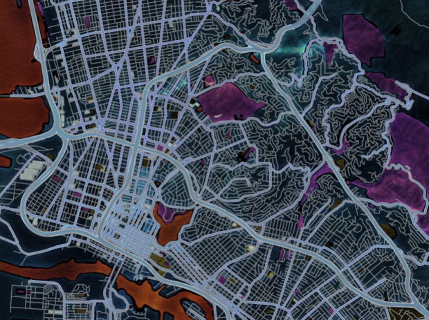
It seems like the technical side of map-making, the part that requires code or complicated software installations, fades a little more every day. People get to focus more on actual map-making than on server setup. Map Stack by Stamen is the most recent tool to help you do this.
We provide access to different parts of the map stack, like backgrounds, roads, labels, and satellite imagery. These can be modified using straightforward controls to change things like color, opacity, and brightness. So within a few minutes you can have a map of anywhere in the world with dark green parks and blue buildings. You can get very precise with image overlays and layer effects, using layers as cut-out masks for other layers. Or just make a regular-looking map in the colors you want.
The idea is to make it radically simpler for people to design their own maps, without having to know any code, install any software, or even do any typing.
It’s completely web-based, and you edit your maps via a click interface. Pick what you want (or use Stamen’s own stylish themes) and save an image. For the time being, the service is open only from 11am to 5pm PST, so just come back later if it happens to be closed.
See here for a taste of what others have done so far.


What would you recommend for someone who can code in Python and c# as a best stack map?