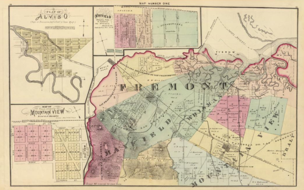
Maps have been around for a long time, but you might not know it looking online. It can be hard to find them. Old Maps Online, a project by The Great Britain Historical GIS Project and Klokan Technologies GmbH, Switzerland, is a catalog of just that.
You can browse and search old maps via the map interface by panning and zooming, along with a search bar and a slider for time. Search results then update in the right sidebar, which provides thumbnails and links to the full-size maps.
If only an overlay like Historypin could be incorporated. That’d be something.
[Old Maps Online via @jatorre]


Looks like a great idea, but I’m having problems viewing on IE8
the fail here is using IE, amirite?
Nice. The David Rumsey Map Collection uses the same system:
http://rumsey.mapranksearch.com/
The Old Maps Online includes Rumsey Maps as one of its sources. Its nice to have an aggregate of many map collections accessible from one place.
Klokan Technologies is also part of the group working on georeferenceer : http://www.klokantech.com/georeferencer/
which I hope these map collections and other libraries start using to allow for crowd-sourcing these old map overlays.
I’ll second the Rumsey collection. Its a great resource and interesting to peruse.
Big Map Blog (http://www.bigmapblog.com/) is another source for old maps. Their viewing interface is pretty sweet as well.
The Library of Congress has a massive collection of historical maps, from Waldseemüller to Fire Insurance Maps of Whiskey Warehouses! http://www.loc.gov/rr/geogmap/guides.html
oh my goodness, what a treasure trove – thank you for sharing!