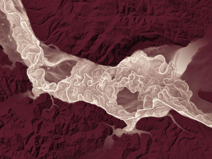
Lidar, which is like radar but with lasers instead of radio waves, can provide high-detail surveys of the land. The state of Washington is using the tool for beautiful results.
In 2015, the Washington State Legislature mandated that the Department of Natural Resources, Washington Geological Survey collect, analyze, and publicly distribute detailed information about our state’s geology using the best available technology – lidar. The main focus of this new push for lidar collection is to map landslides, but there are innumerable additional benefits and applications of this data both inside and outside of the field of geology.
[via National Geographic]
 Visualize This: The FlowingData Guide to Design, Visualization, and Statistics (2nd Edition)