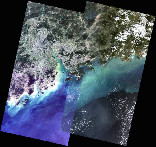
You might think piecing together satellite imagery is a straightforward task of lining up latitude and longitude points. But if you think that, you haven’t actually worked with these things. David Yanofsky, part of the Quartz Things Team, describes how he processes satellite images for one coherent image and how you can to.
He starts at downloading the data, moves into stitching together a mosaic, and then adjusting the color so that everything is smooth and continuous.


 Visualize This: The FlowingData Guide to Design, Visualization, and Statistics (2nd Edition)
