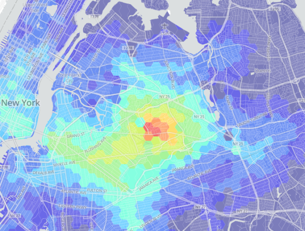
As more New Yorkers move farther away from Manhattan, transit times grow in importance. WNYC made a nice interactive map that shows how far one has to travel based on location. Simply click a location on the map and colors indicate how far it takes to get to your surroundings.
It reminds me of Trulia’s commute maps, which is the same idea but they estimate travel time for the entire country. Although I’m not sure if the data sources behind the maps are the same, the two maps seem to spit out similar results.


 Visualize This: The FlowingData Guide to Design, Visualization, and Statistics (2nd Edition)
