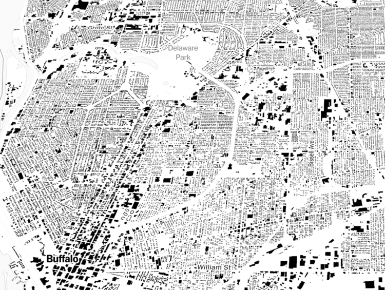
A few months back, Microsoft released a comprehensive dataset that included the estimated footprints of all of the buildings in the United States. The New York Times mapped all of it.
The footnote says a lot about their attention to detail:
In some cases, the building shapes generated by Microsoft’s automated process do not match the existing building footprints exactly. We manually corrected as many of these mistakes as we found, or, where available, replaced the shapes using more precise local data sets. Data was unavailable for much of Alaska.