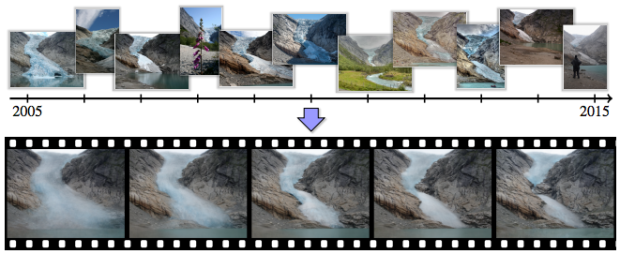
Think of time-lapse photography, and you imagine someone sets up a camera in a single spot to take photos at set periods of time. Researchers from the University of Washington and Google tried something else.
Instead, they grab photos online from various sources and times, cluster them by location and smartly string together to see how areas around the world changed — rivers, waterfalls, skylines, and others. It’s easy to imagine the applications.
See the results in the explainer video below.
Also, more details in the paper. [via @datapointed]


