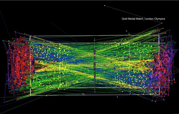
Damien Saunder, a cartographer at ESRI, likes to use mapping methods to evaluate tennis player patterns and tendencies.
When I look at tennis, I see it moving on a grid. I see space and x/y coordinates [position] and I see z values [height], and I see trajectories of the balls, and space opening up. I started GameSetMap to try and educate people of the value of mapping where people are on the court, storing the data in a GIS, and visualizing it.
 Visualize This: The FlowingData Guide to Design, Visualization, and Statistics (2nd Edition)