Google Maps is one of Google’s best applications, but the time, energy, and thought put into designing it often goes unnoticed because of how easy it is to use, for a variety of purposes. Willem Van Lancker, a user experience and visual designer for Google Maps, describes the process of building a map application — color scheme, icons, typography, and “Googley-ness” — that practically everyone can use, worldwide.
We have worked (and driven) around the world to create a “map” that is a collection of zoom levels, imagery, angles, and on-the-ground panoramas all wrapped into one. Through these varied snapshots of our world, we are attempting to sew together a more seamless picture of the Earth—from its natural beauty to the surprising (and often absurd) details that make it our unique home. As our work progresses, new technologies give us the opportunity to get away from the limitations and complexity of standard cartography to provide a much more approachable and easy-to-understand map, loaded with data and information.
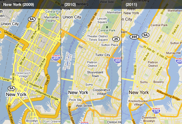
Remember when we had to refresh the page to see more of map?
 Visualize This: The FlowingData Guide to Design, Visualization, and Statistics (2nd Edition)
I remember the days when we had to refresh the page to get more map. I remember thinking that Google’s map was magical in a sense, since you could just keep zooming and panning and moving, all within a single page. Though I’ve tried others, I haven’t found another map that delivers what Google does.
Google Maps may be good at optimizing the look of areas with good ad revenue, but it has become dread full in Sweden, to the point where Openstreetmap looks better and has better coverage. Google maps even uses Landsat as a base for coastlines in most places.
Google maps even uses Landsat as a base for coastlines in most places.
I am pleased with google maps for making Singapore part of it.